/prod01/prodbucket01/media/durham-university/departments-/geography/Matt_Couchmann-3872X1296.JPG)
Greenhouse gases to intensify extreme flooding in the Central Himalayas
Rising greenhouse gas emissions could see the size of extreme floods in the Central Himalayas increase by between as much as 73% and 84% by the end of this century.
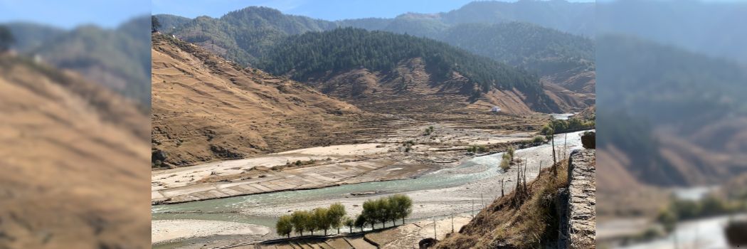
Our geographers used high-performance computers to simulate the risk of increased flooding on the Karnali River, which spans Nepal and China.
The Karnali also has the potential to impact communities in Nepal and India.
They found that extreme floods – those with a 1% chance of happening within a year – could increase in size by 22% and 26% between 2020 and 2059, compared to flooding seen in the region between 1975 and 2014.
This increase is expected to be within 37% and 43% between 2060 and 2099 with medium greenhouse gas emissions.
High greenhouse gas emissions could see the size of extreme floods increase by between 73% and 84% in the same period.
The floodplains of the Central Himalayan foreland are among the most flood-affected areas of the world.
Consequences of flooding
In September 2024, floods caused 236 deaths and displaced 8,400 people, along with damage worth 1% of Nepal’s gross domestic product (GDP).
By 2050, flood damages are projected to account for 2.2% of negative impact on Nepal’s annual GDP.
Flooding also has consequences for food insecurity and the outbreak of epidemics, which would likely be exacerbated by higher greenhouse gas emissions.
Floods with a 1% chance of happening within a year could occur once every five to 10 years at the end of the century. This shows the urgent need to cut global greenhouse gas emissions as soon as possible, because flood hazards will continue to increase for decades after the emission peak.
Our findings highlight the scale of the increase in flooding that communities in the Central Himalayas could experience.
The researchers say their study could inform local flood hazard management in the region.
Find out more
- Read the full research paper in the journal Scientific Reports.
- More about the research team: Dr Ivo Pink, Professor Sim Reaney, Professor Richard Hardy and Dr Isabella Bovolo.
- Our Department of Geography is ranked 11th in the QS World University Rankings by Subject 2025 and second in the UK in the Complete University Guide 2026. Visit our Geography webpages for more information on our undergraduate and postgraduate programmes.
- The research was funded by a Charles Wilson Doctoral Studentship through our Institute of Hazard, Risk and Resilience.
- Simulations were carried out on high-performance computers provided by the Advanced Research Computing Unit at Durham University.
Banner picture: A side valley of the Karnali River. The steep slopes in the Karnali catchment cause a fast flood generation and high-magnitude floods in the downstream plains. Credit: Gunjan Silwal.